Ecological Communities of the Preserve
Jamie Deppen and Keri VanCamp
Dylan Finley, Takunda Maisva, Jessie Prutisto-Chang, Mirit Rutishauser and Fate Syewoangnuan
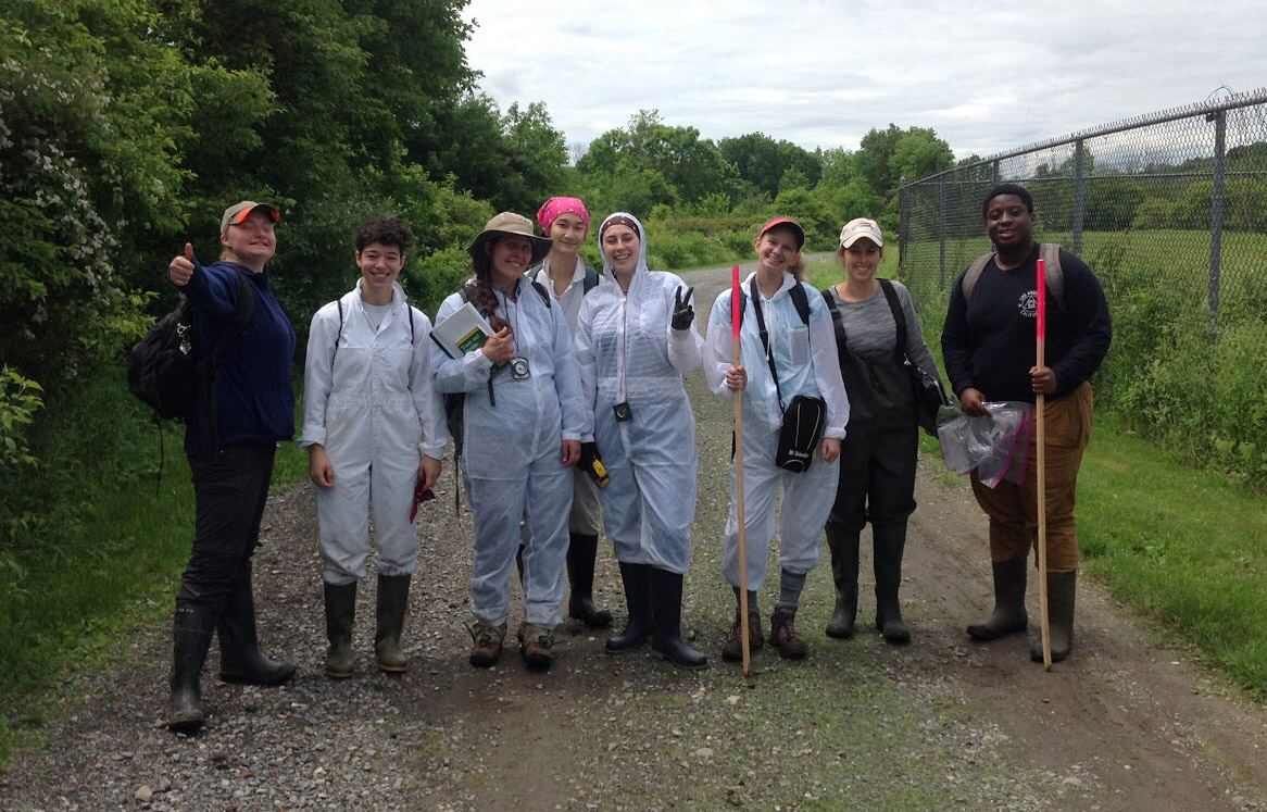
Understanding spatial distribution of ecological communities that are present on the Preserve is vital for designing environmental monitoring, making decisions about land management, and planning ecological research. Beginning in 2016, the Preserve began remapping ecological communities and establishing permanent monitoring plots in all community types. Every five years field data from permanent plots is used to refine the map, characterize the health of the ecological communities, and refine the boundaries of the communities on the Preserve. By comparing different versions of the maps, users can see how ecological communities change over time and make predictions about future changes.
To create the updated maps, teams of researchers collected information on the types of species and various environmental features at selected locations. This data was used to categorize these locations based on classifications from the New York Natural Heritage Program.
The ecological communities map data can be used for a variety of purposes, including modeling habitats for species, understanding carbon storage, tracking the spread of invasive species, and studying the effects of climate change.