The GIS Labs at Vassar College
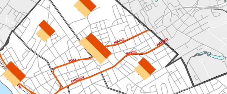
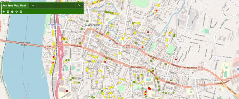
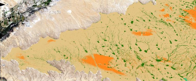
Geographic Information Systems (GIS) involves mapping data and software. The GIS Lab is a collaborative work space for classes, projects, student work, for sharing maps online, for collecting community data, and much more. In and outside of classes, students use GIS to explore and share data about real-world problems, often working with local communities to answer questions such as food security, urban environmental justice, and conservation. See projects at the Vassar Geospatial Mapping Hub.
Vassar College has two GIS labs, one in ELY 114, and a second in the Science Visualization Lab in the Bridge for Laboratory Sciences. Classes use mainly ArcGIS Pro and ArcGIS Online, as well as data management, modeling, and statistics programs, such as Excel, JMP (a friendly interface for SAS), and Stella (a modeling program). We also provide Adobe suite programs for presentation and graphics.
Want to get involved?
There are a number of ways that Vassar students can get started learning GIS and gaining practical experience. Links to getting started guides and tutorials, information about courses in which GIS software is taught and used, and different types of GIS projects, internships, and activities are available at the Vassar Geospatial Mapping Hub.
Contact
For more information about the GIS Labs, scheduling a class session, or using GIS in a course or research, contact the GIS Academic Computing Consultant at 437-7708, or email geo@vassar.edu.


